Why The Missouri River Floods
In the early 1900’s, the Missouri River was unmanageable, varying in shape and size covering entire valleys with ice and water, then resettling along a new course. The U.S. Army Corps of Engineers tried for several decades to tame the river and make it navigable for commercial, agriculture, and manufacturers. Finally, in the early years of the Great Depression, the Corps along with temporary workers channelized the river between Kansas City to St. Louis by dredging, stone and concrete revetments, and pile dikes. Unfortunately, the channel was still too shallow for barges to pass through.
Infrastructure
After large floods in 1943, dams were built in five places in the Dakotas, which flooded out several Indian reservations and created an enormous reservoir system. This reservoir system was used to provide flood control, irrigation, hydroelectric power, drinking water, recreation, habitat for fish and wildlife, and navigation. Hundreds of miles of levees were also built from Sioux City to St. Louis to deepen the river channel.
Even with the new infrastructure to help regulate the river, there was still quite a bit of flooding between the 1960’s and 1990’s. Most of the flooding during the 90’s was caused by summer rainfall in the Midwest. In the past two decades, flooding still has been an issue and the attempts to tame the wild river require almost constant intervention.
Alternatives
With climate change and persistent flooding throughout the flood-control programs, other alternatives to building more levees, dams, and flood walls have been suggested. Limiting development in floodplains and the evacuation of currently populated areas have become the preferable alternatives. Over the decades, the population in counties along the river has decreased while the metropolitan areas have grown. Even though they are on higher land, they can afford to build levees and flood walls, unlike the smaller towns.
In recent years, the main justification for re-engineering the Missouri River has seemed to lose strength with opinions from researchers that navigational structures seem to only worsen flooding. The navigable channel to Sioux City is reported to have no economic benefit while creating a navigable channel only makes the river run faster.
So Why Does it Flood?
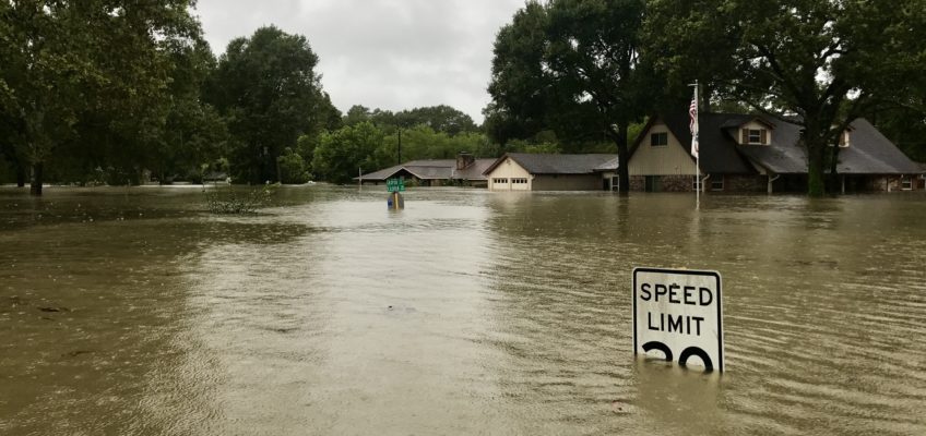
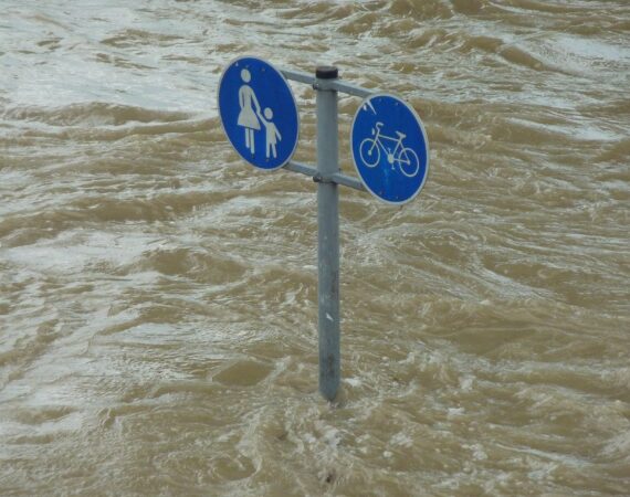
The river floods for three simple reasons: 1) It is immensely powerful 2) It is virtually impossible to completely control and 3) The volumes of water the Army Corp manages are often simply unmanageable.
It must be understood that before attempts to control it, the river would routinely flood and change course – taking any available path in the floodplains. We tend to think of the river as occupying a specific location, but the river has spent hundreds of thousands of years taking whatever path is best when the floodwaters recede. Evidence of these old paths exists all over – just look at the state borders which do not follow the river or the seemingly random crescent shaped lakes all over near the river’s edge.
In order to coax the river into following a particular path it has taken an alchemy of deepening the path, managing reservoirs and building dams. The reality is that we must accept that it will flood from time to time and we need to take precautions, improve the infrastructure which contains the water and build permanent structures in ways that can handle the periodic increase in water level.
Forensic Engineering Specialists
Engineering Specialists Inc. has nearly 30 years of field experience in analyzing the damage to vehicles, residential, commercial, and industrial buildings. We can work on any project in any state, nationwide. When you or your business needs to confirm the extent of damage or how to correct a problem, email us at office@esinationwide.com or call us, toll-free, at (877) 559-4010.


