The idea of using cameras to orbit and observe weather began as early as 1946. At the time, there was little observation data, and cloud cameras on rockets were expensive. On February 17, 1959, the first weather satellite, Vanguard 2 launched. Unfortunately, a large amount of data was uncollected by the satellite due to its elliptical orbit and poor rotating axis. The TIROS-1 was considered the first successful weather satellite in 1960, and operating for 78 days. Next came the Nimbus program which provided a foundation for the Earth-observing satellites that are used by NASA and NOAA today.
Types of Weather Satellites
Weather satellites are either polar orbiting or geostationary. Polar-orbiting satellites asynchronously cover the Earth, while geostationary satellites hover over the same spot above the equator. Different weather satellites cover different environmental information. Meteorological satellites capture images of snow, ocean boundaries, energy flow, storms, auroras, pollution, fire, city lights, and more. The images that are collected from the satellites also help in monitoring changes in the weather during natural disasters such as volcano eruptions, and smoke from forest fires. The ozone hole in the Antarctic is also mapped by a weather satellite.
Observation
Weather observations are collected by satellites from the U.S., Russia, China, Japan, Europe, and India and assist in a global weather watch. The electromagnetic spectrum provides different observation channels such as visible and infrared. The visible spectrum provides the weather satellites with visible-light images that are taken during daylight hours and are easily interpreted. The infrared spectrum or thermal images are recorded by sensors also known as scanning radiometers that provide information to an analyst to determine sizing and types of clouds, land and water surface temperatures, and locating ocean surface features. Tropical cyclones can be identified using a visible eye pattern with the Dvorak technique which is the difference between the temperature of the warm eye and surrounding cold cloud tops.
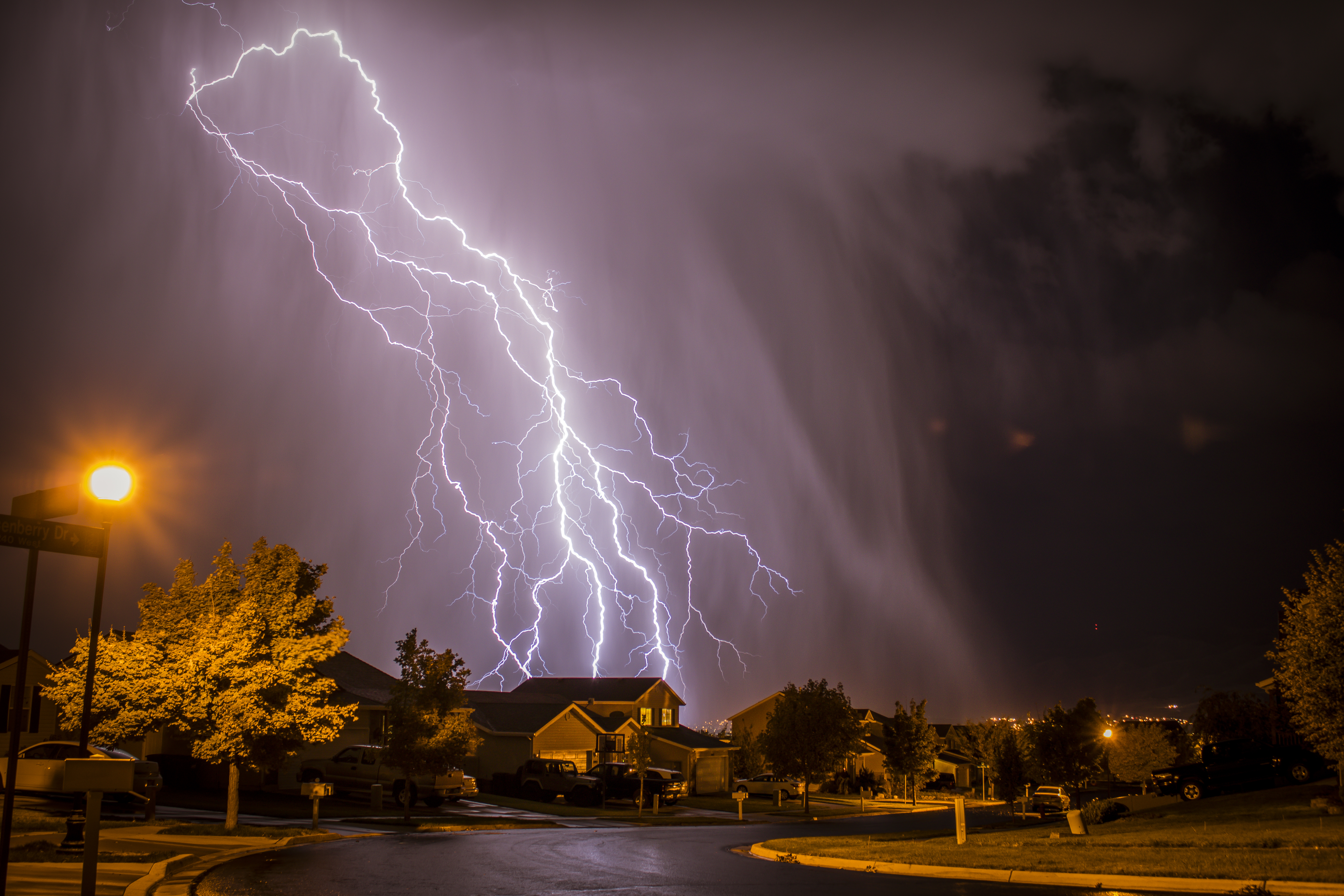
Forensic Engineering Specialists
Engineering Specialists Inc. has nearly 30 years of field experience in analyzing the damage to vehicles, residential, commercial, and industrial buildings. We can work on any project in any state, nationwide. When you or your business needs to confirm the extent of damage or how to correct a problem, email us at office@esinationwide.com or call us, toll-free, at (877) 559-4010.


